



The complete upstream
geophysical & geological
platform.
Geomage delivers desktop seismic software, cloud-based SaaS tools, expert processing services, and collaborative R&D — the complete upstream workflow under one roof.
One integrated platform.
Purpose-built for the complete upstream geophysical workflow — each tool designed for its specialist, all running on the same shared infrastructure.
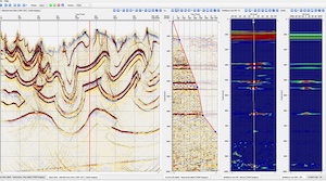
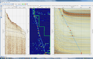
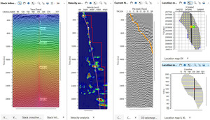
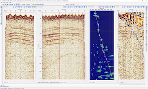
Seismic Processing Suite
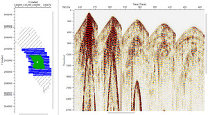
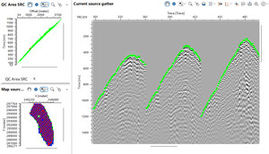
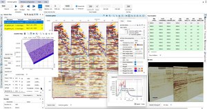
Full-scale 2D/3D/4D seismic processing with MultiFocusing, RTM, FWI, and velocity analysis in one integrated environment.
- MultiFocusing ZOMF / COMF imaging
- RTM & FWI anisotropic depth migration
- VSP processing & integration
- First-break picking & refraction statics
- Noise & multiple attenuation (SRME)
- Velocity analysis & model building
- 5D interpolation & regularization
- GPU / HPC cluster workflows
- Batch processing & Python automation
Seismic Interpretation
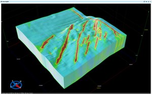
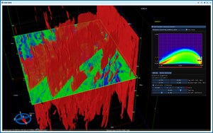
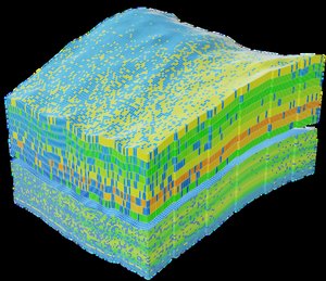
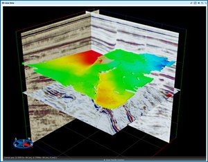
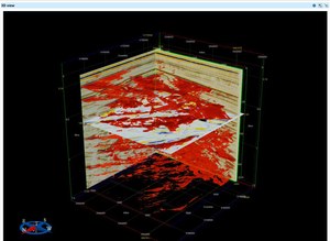
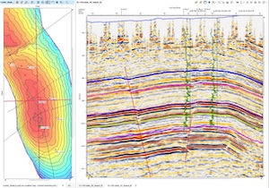
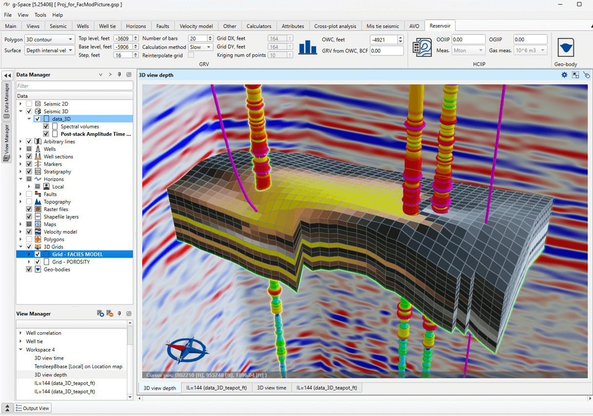
Advanced 3D interpretation platform for horizon picking, fault mapping, well correlation, and geological model building.
- Horizon & fault interpretation
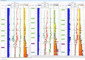
- Well log correlation
- Geological model building
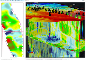
- Volume attribute analysis
- Reservoir characterisation & AVO
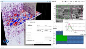
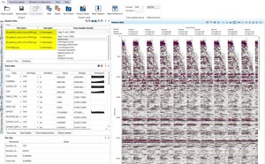
SEG-Y Viewer & QC
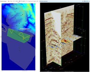
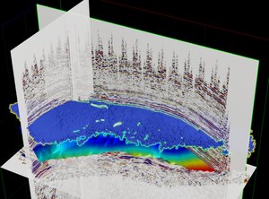
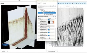
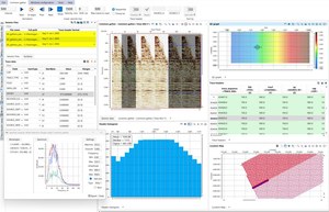
Professional-grade SEG-Y data viewer for seismic visualisation, trace QC, and fast data navigation. Fully functional with a free trial.
- 2D & 3D seismic visualisation
- Trace header analysis
- Pre-stack QC & display tools
- Interactive location map & geometry QC
- Fast data loading & navigation
Powerful tools. No installation required.
Browser-based solutions for field and office — accessible from anywhere, on any device, with no setup or local infrastructure.
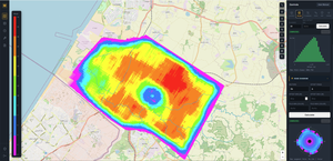
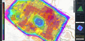
Seismic Survey Design
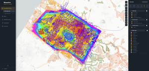
Browser-based seismic survey design software — plan acquisition geometry, optimise fold coverage, and visualise receiver/source layouts without local installation.
- Survey geometry design & visualisation
- Fold map computation
- Obstacle & cost optimisation
- Export to field equipment formats
Geological Cross-Section Tool
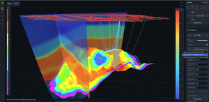
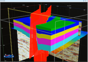
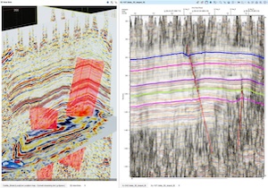
Web-based platform for creating, annotating, and sharing geological cross-sections directly in the browser — with real-time multi-user collaboration.
- Horizon & fault slicing
- Stratigraphic annotation
- Multi-user real-time collaboration
- Export to PDF & SVG
Well Log Viewer & Map
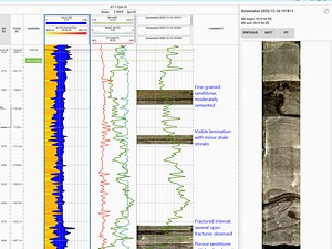
Browser-based well log viewer with smart parsing of LAS, ASCII, and other log formats — paired with a synchronised location map. Select a well on the map or from the loaded files list and instantly inspect its tracks side-by-side.
- Smart parsing of LAS, ASCII & other log formats
- Location map synced with log viewer
- Customisable multi-track layout per well
- Select wells from map or loaded-files list
- Zero installation — runs in any browser
New Browser-Based Products
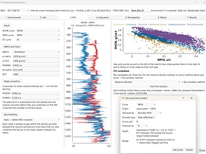
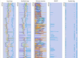
We're expanding our cloud platform with new browser-based tools for the upstream workflow — developed together with our clients and partners.
Join the waitlistProfessional seismic software. On your workstation.


Browser-based tools. Anywhere, anytime.
Our growing suite of cloud-native SaaS products brings specialist geophysical capabilities directly to your browser — no installation required.


Geomage collaborates directly with exploration and production companies to co-develop new tools, modules, and algorithms. Client challenges become platform capabilities — turning field problems into innovations that benefit the entire upstream industry.
Talk to us about co-developmentExpert-led services. World-class results.
Partner with Geomage's processing team for turnkey seismic data services on your toughest projects.
Onshore Seismic Processing
Complete land seismic processing from geometry QC to final depth migration, with specialised workflows for complex near-surface conditions.
Marine Seismic Processing
Advanced broadband marine processing workflows including deghosting, SRME, and salt imaging for deep-water exploration campaigns.
MultiFocusing Imaging Service
Apply Geomage's proprietary ZOMF / COMF technology to your existing data — dramatically improving resolution and structural definition.
Results that speak. Worldwide.
Geomage has applied its proprietary imaging technology across more than 500 projects on six continents. Hover each card to reveal the result.


Onshore 2D reprocessing — structural clarity in complex fold-and-thrust terrain


Marine 3D reprocessing — sub-salt imaging improvement


Onshore 2D reprocessing — severe near-surface corrections in complex terrain


Marine 3D imaging — salt flank definition and sub-salt reservoir delineation


Onshore 3D land processing — carbonate reservoir imaging in arid terrain
See the subsurface
like never before
Download a full-featured trial of g-Platform, g-Space, or g-Viewer. No credit card required. Complete functionality, real data, zero commitment.
Windows · Linux · macOS (Apple Silicon) · No credit card required