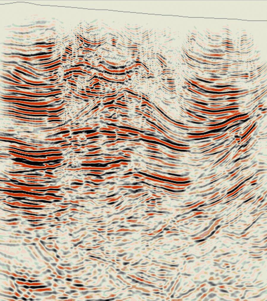
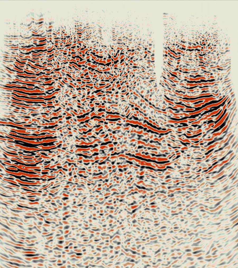
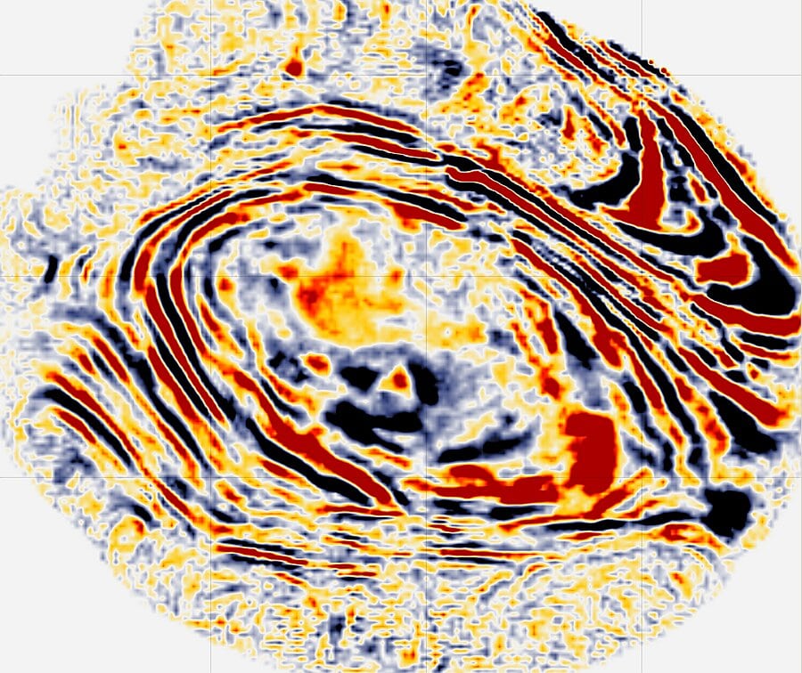
In the field of geosciences, accurately interpreting seismic data is essential for successful exploration and production. g-Space™ is designed to meet the needs of modern seismic interpretation and visualization. Whether you’re an experienced geoscientist or new to the field, g-Space provides tools to enhance your geological and geophysical workflows, making your projects more efficient and precise.
g-Space offers advanced 2D and 3D visualization capabilities, giving users a comprehensive view of subsurface structures. These features support seamless well data import, enabling easy integration of crucial information. This integration ensures that all relevant data is readily available, facilitating a better understanding of the geological formations under study.
g-Space excels in horizon and fault interpretation, providing interactive picking tools that simplify the process. The ability to pick horizons and faults in both time and depth domains allows for flexible and accurate interpretations. This interactive approach ensures quick adjustments and refinements as new data becomes available, leading to more reliable results.
Velocity modeling is a key aspect of seismic interpretation, and g-Space provides robust tools for creating accurate velocity models. Whether using checkshots, horizons, or markers, g-Space’s velocity modeling capabilities ensure precise depth conversions. Additionally, the software includes attribute analysis tools, enabling deeper insights from seismic data, which can be crucial in identifying potential reservoirs and understanding subsurface properties.
g-Space also offers a range of tools for reservoir interpretation. From well log correlation and cross-plot data analysis to volumetric calculations and 3D static modeling, g-Space equips you with the necessary tools to evaluate and optimize reservoir potential. These comprehensive tools help in making informed decisions, enhancing the efficiency and success of exploration and production efforts.
In today’s collaborative work environment, seamless teamwork is essential. g-Space includes multi-user support, allowing multiple geoscientists to work on the same project simultaneously. This feature enhances collaboration, ensuring everyone is aligned and can contribute effectively to the interpretation process. Centralized project management, revision history, and monitored user access further facilitate smooth and efficient collaborative workflows.
Integrating g-Space into your workflow can significantly impact your project’s success. By providing a suite of tools for seismic interpretation and visualization, g-Space enhances the accuracy and efficiency of geological and geophysical analyses. Its advanced visualization capabilities, interactive interpretation tools, robust velocity modeling, and comprehensive reservoir analysis features make it a valuable asset for any geoscientist.
Moreover, the inclusion of multi-user support ensures that your team can work together seamlessly, making g-Space a practical choice for collaborative projects. Achieve greater efficiency and precision in your seismic interpretation projects with g-Space, and make the most of your geological and geophysical data.
In the competitive field of geosciences, having effective tools can make a significant difference. g-Space offers a practical solution for seismic interpretation and visualization, providing the features and capabilities needed to succeed. Enhance your workflows, improve your interpretations, and achieve better results with g-Space. Experience practical and cost-effective seismic interpretation with g-Space today.
Your name
Your email
Structural Geological Dynamic Reservoir
Total Price
Subject
Your message (optional)
Papua New Guinea
United states – California – Land data – PSTM
3+2=?
This is testing ..add your youtube video here
[mc4wp_form id=”2437″]