Coming soon
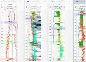
g-Viewer designed to be a visualization software for many formats of
geophysical data
Currently Geomage team develops additional plug-ins that will allow load,
visualize and manipulate:
-
Different versions of Seg-D format
-
Well information in LAS format
-
Map data in different grid formats
-
Geographic ASCII data
-
GIS Shape files