g-Platform™ - seismic data processing software
Geomage g-Platform™ is the most innovative, interactive and advanced software for processing and imaging of seismic data
g-Space™ - geological and geophysical interpretation software
Geomage g-Space™ is a software suite for geological and geophysical interpretation, well correlation and map creation
g-Viewer™ - geophysical data visualization software
This is an universal viewer for any type of geophysical data. We are working on adding more formats and features
g-Platform™ - seismic data processing software
Geomage g-Platform™ is the most innovative, interactive and advanced software for processing and imaging of seismic data
Seismic Data Processing Software 2D / 3D
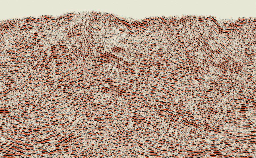
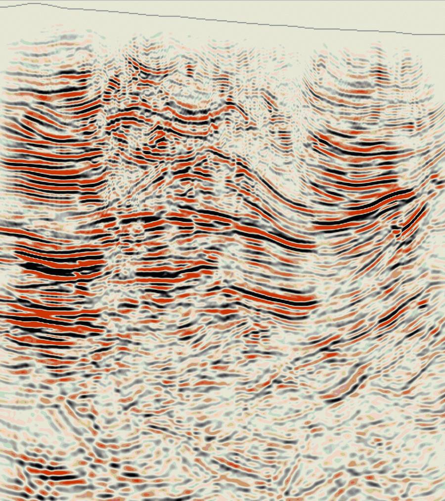
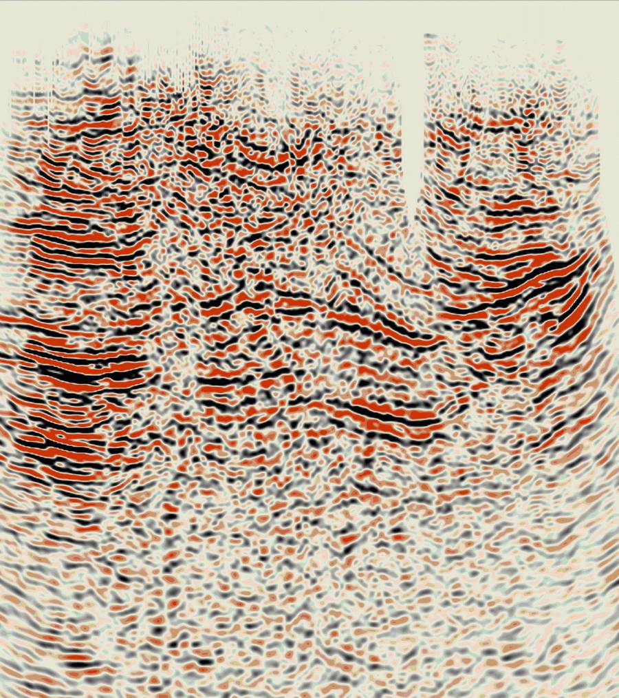
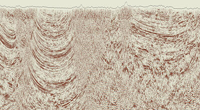
Geomage g-Platform seismic data processing software provides user with many interactive features, creating a unique overall software experience:- Software Performance – when you click somewhere, something happens
- Well-defined basic DB and Project Tree Structure
- Easy cluster and jobs management
- Full interaction between view windows
- Multiple QC displays at all phases of processing
g-Space™ - geological and geophysical interpretation software
Geomage g-Space™ is a software suite for geological and geophysical interpretation, well correlation and map creation
Structural and Geological Interpretation
Geomage g-Space™ is a complete geological interpretation software that allows thorough analysis of existing seismic and well data. It includes many graphical and interactive features that makes interpreter’s work more enjoyable, efficient and accurate. All that at very cost-effective pricing and world-class support. Geomage g-Space™ software includes:- Horizon and Fault picking
- Geological modeling
- Map creation with faults
- Well-tie and dynamic update
- Well correlation
- Velocity model based on checkshots and horizons
- Simultaneous time/depth picking
- complete demo project based on Teapot Dome data, provided by RMOTC and the U.S. Department of Energy as the data source
- etc, etc, etc and more…

g-Viewer™ - geophysical data visualization software
This is an universal viewer for any type of geophysical data. We are working on adding more formats and features
Geophysical data visualization software
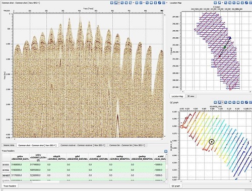
This software designed to visualize and QC multiple files in different geophysical formats. Current version includes:- Load and review Seg-Y files of any size
- Load multiple Seg-Y files – 2D and 3D
- Selection of active dataset from location map
- Graphical representation of trace header(s) above seismogram view
- Cross-plot any 3 trace headers (horizontal-vertical-color )
- Load of geometry from trace headers
- Editing trace header scheme per each dataset
- Selection and representation of CS/CR/CMP gathers picked from location map
- Selection and representation of active trace from seismogram/location map
- Editing text and bin headers
- And the AUTO-UPDATE, so you could get new version whenever its available. More features to come soon are Seg-D, Las, Shape, ASCII, SU and other formats
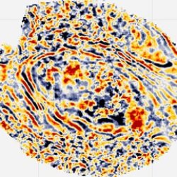
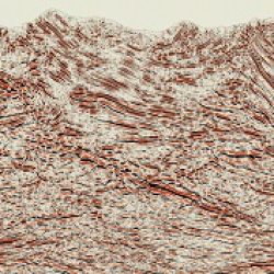
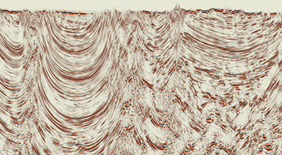
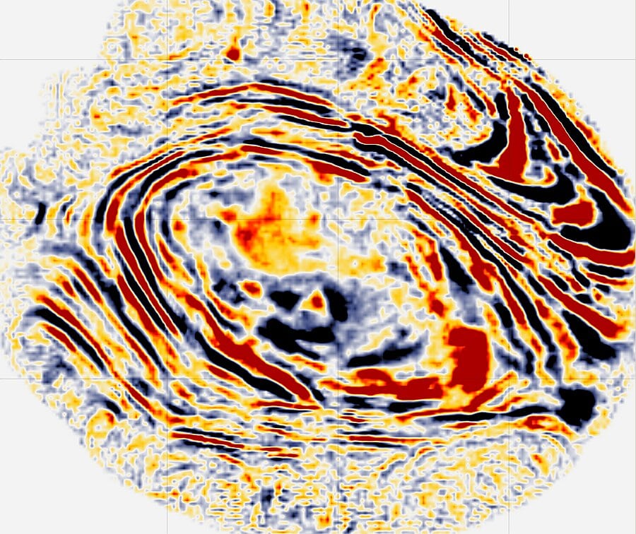
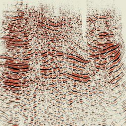
Before
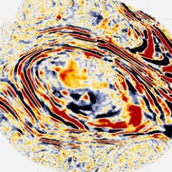
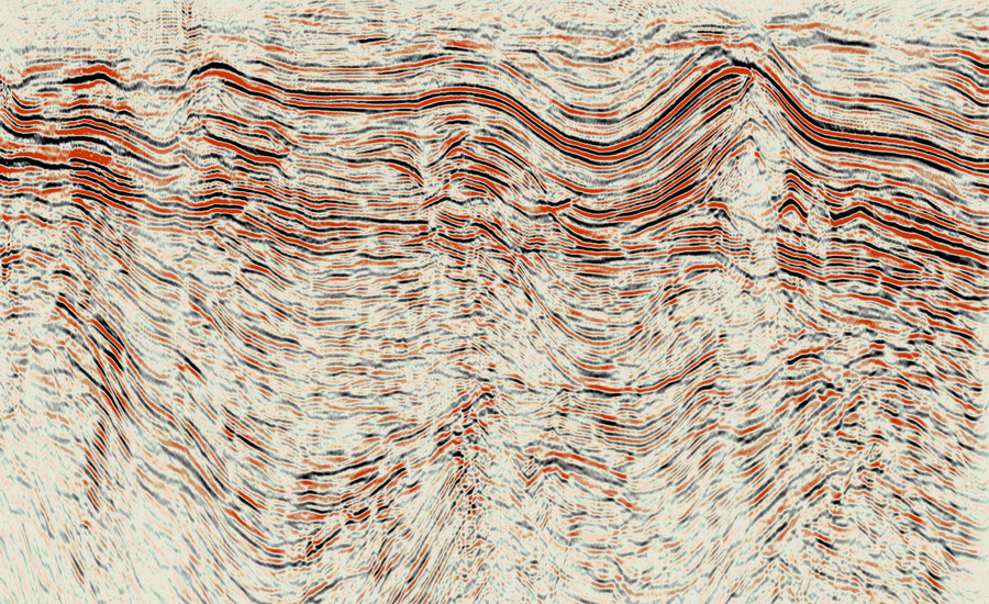
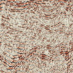
After
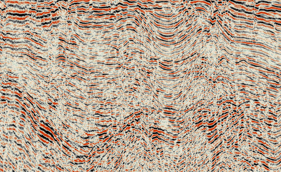
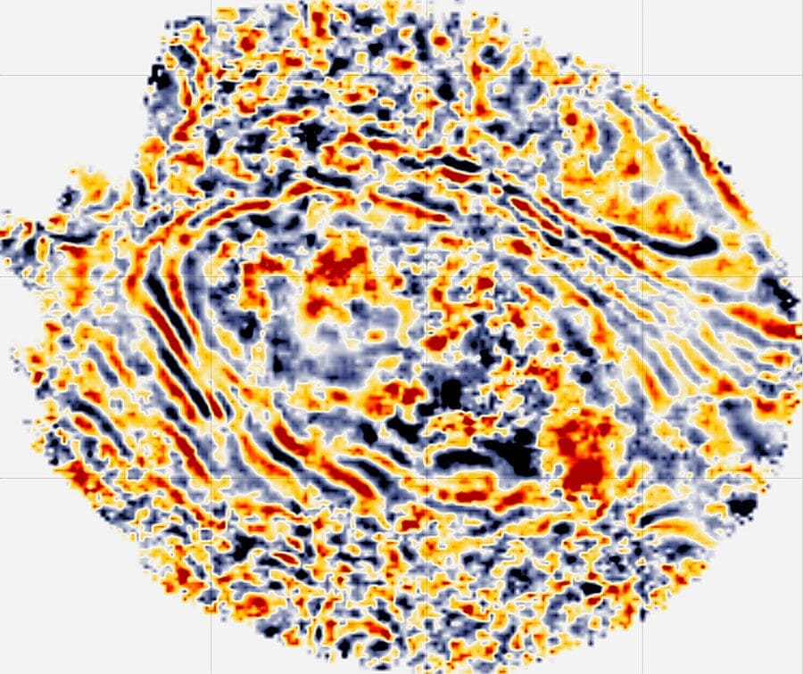
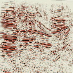
Before
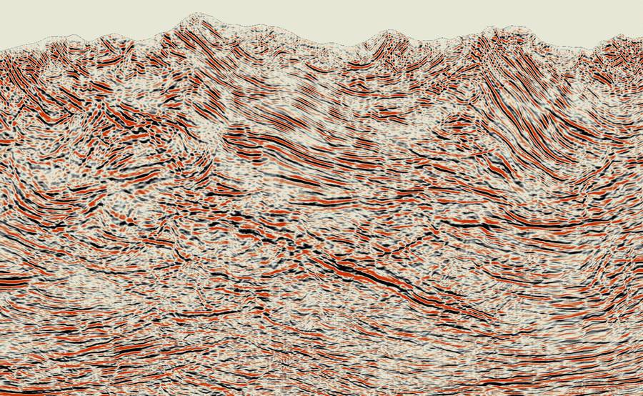
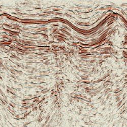
After
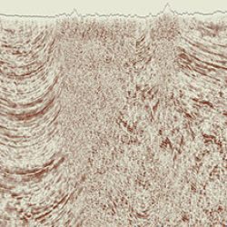
Before
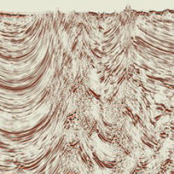
After
Before
After
Before