WhatsApp
Seismic Processing and Interpretation Software - Geomage

Software

software_logo_1

g-Platform™ - seismic data processing software

Geomage g-Platform™ is the most innovative, interactive and advanced software for processing and imaging of seismic data

software_logo_2

g-Space™ - geological and geophysical interpretation software

Geomage g-Space™ is a software suite for geological and geophysical interpretation, well correlation and map creation

software_logo_3

g-Viewer™ - geophysical data visualization software

GThis is an universal viewer for any type of geophysical data. We are working on adding more formats and features

software_logo_1

g-Platform™ - seismic data processing software

Geomage g-Platform™ is the most innovative, interactive and advanced software for processing and imaging of seismic data

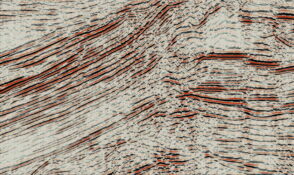
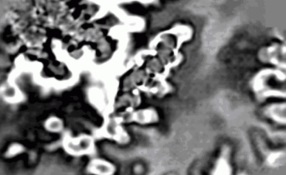
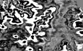
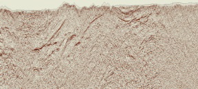
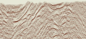
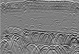
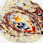
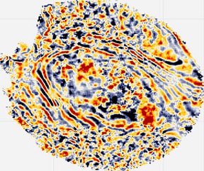
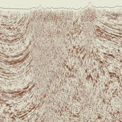
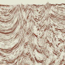
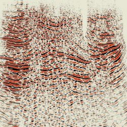
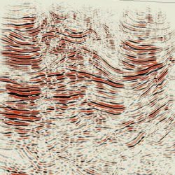
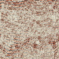
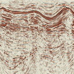
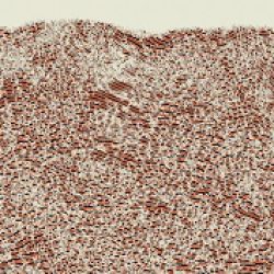
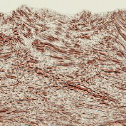
Seismic Data Processing Software 2D / 3D

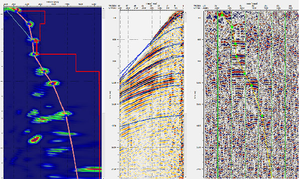
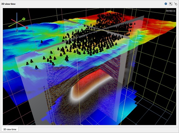
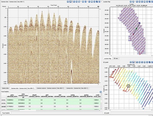
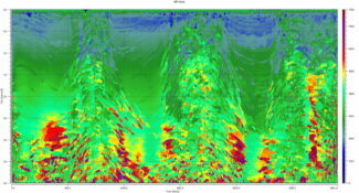
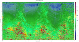
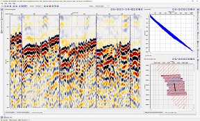
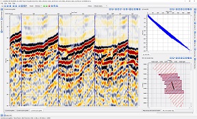
Geomage g-Platform seismic data processing software provides user with many interactive features, creating a unique overall software experience:

  • Software Performance – when you click somewhere, something happens
  • Well-defined basic DB and Project Tree Structure
  • Easy cluster and jobs management
  • Full interaction between view windows
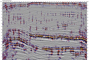
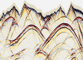
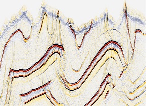
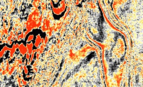
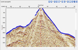
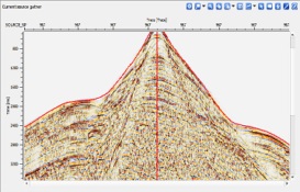
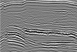
  • Multiple QC displays at all phases of processing
Ask a Question
software_logo_2

g-Space™ - geological and geophysical interpretation software

Geomage g-Space™ is a software suite for geological and geophysical interpretation, well correlation and map creation

Structural and Geological Interpretation

Geomage g-Space™ is a complete geological interpretation software that allows thorough analysis of existing seismic and well data. It includes many graphical and interactive features that makes interpreter’s work more enjoyable, efficient and accurate. All that at very cost-effective pricing and world-class support. Geomage g-Space™ software includes:

  • Horizon and Fault picking
  • Geological modeling
  • Map creation with faults
  • Well-tie and dynamic update
  • Well correlation
  • Velocity model based on checkshots and horizons
  • Simultaneous time/depth picking
  • complete demo project based on Teapot Dome data, provided by RMOTC and the U.S. Department of Energy as the data source
Ask a Question
software_logo_3

g-Viewer™ - geophysical data visualization software

GThis is an universal viewer for any type of geophysical data. We are working on adding more formats and features

Geophysical data visualization software

This software designed to visualize and QC multiple files in different geophysical formats. Current version includes:

  • Load and review Seg-Y files of any size
  • Load multiple Seg-Y files – 2D and 3D
  • Selection of active dataset from location map
  • Graphical representation of trace header(s) above seismogram view
  • Cross-plot any 3 trace headers (horizontal-vertical-color )
  • Load of geometry from trace headers
  • Editing trace header scheme per each dataset
  • Selection and representation of CS/CR/CMP gathers picked from location map
  • Selection and representation of active trace from seismogram/location map
  • Editing text and bin headers
  • And the AUTO-UPDATE, so you could get new version whenever its available. More features to come soon are Seg-D, Las, Shape, ASCII, SU and other formats
Ask a Question

Advanced Seismic Processing Services

services_1

Low fold / Old Seismic

Legacy or low fold data can present significant problems in imaging and stratigraphic resolution. Using MultiFocusing a data driven geology based regularization can be applied to improve the spatial sampling of the dataset leading to greatly improved resolution and imaging

services_1

Sparse 3D / Footprint

Using MultiFocusing data regularization on sparse or irregularly sampled datasets can provide significant uplift in the gather and image quality. As well foot-print evident in conventional datasets can be significantly reduced by careful selection of the regularization method

services_1

Rough topography

Areas with rough surface topography are often characterized by near surface static issues and imaging problems. Using topographically referenced MultiFocusing the complex wavefields are easily solved allowing for substantial improvement in data quality

services_1

Complex velocity

Applying MultiFocusing not only gives its significant improvement in image quality, but analysis of the derived wavefield model gives accurate estimates of the true velocity model based on the geology and leading to a better imaged migration

services_1

Refraction statics

Complex geologic environments typically include complexity in the near surface. The near surface static solution provided by Geomage refraction statics is highly responsive to this near surface complexity, giving a clearer image of the subsurface

services_1

Marine data

MultiFocusing imaging brings into marine seismic processing wider frequency content, better resolution of stratigraphy and higher signal to noise ratio

services_1

Fault/Fracture detection

Finding fractures and its orientation can be a game changer in some projects. Geomage Diffraction Imaging exploits the diffraction energy inside the seismic data to generate enhanced diffraction volumes which can highlight fractured zones and fracture orientations within the target areas

services_1

Time/Depth imaging

In time or depth domain, high resolution prestack migration gives the best image especially when used in conjuction with MultiFocusing enhanced and regularized gathers and accurately estimation dip-corrected MF-RMS velocity

Technology

MultiFocusing Imaging

Geomage’s highly effective Common Offset MultiFocusing (COMF) technology enhances existing zero-offset approximation solution (ZOMF or CRS stack / CRS seismic processing ) by more accurate description of time arrival and allows a complete preservation of amplitude, non-hyperbolic and azimuthal information.

Azimuthal Refraction Statics

Complex geologic environments typically include complexity in the near surface. The near surface static solution provided by proprietary azimuthal refraction residual statics is highly responsive to this near surface complexity, giving a clearer image of the subsurface.

Diffraction Imaging

The MultiFocusing Diffraction Imaging (MFDI) method is based on a new moveout time correction which adequately describes diffraction events. Optimal summation of the diffracted events and attenuation of the specular reflections allow creating an image containing mostly diffraction energy.

Case Studies

Case studies of MultiFocusing seismic data processing technology which was successfully deployed in different geological settings all around the globe. We have chosen set of different examples done with Geomage MultiFocusing seismic processing technology and compare it with standard time processing seismic data imaging.